


Creating digital elevation models from open data
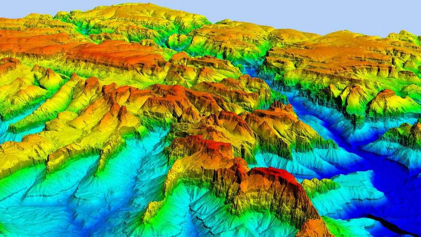
Nowadays, users can create DEMs with just one click, thanks to radar satellites providing continuous, high-precision data on the Earth's surface and increasingly fast and accessible open-source software. This allows for effective monitoring of terrain changes and natural phenomena.
Nowadays, users can create DEMs with just one click, thanks to radar satellites providing continuous, high-precision data on the Earth's surface and increasingly fast and accessible open-source software. This allows for effective monitoring of terrain changes and natural phenomena.